How can small barriers create big limitations in everyday urban life?
I’m beginning an individual inquiry into everyday accessibility across transportation, sidewalks, and social spaces in Downtown Brooklyn.
Course
Ideation & Prototyping
Project
Creative Inquiry
Phase
01 / FRAME
Format
Individual Research Proposal
Status
Preliminary Research
Location
Downtown Brooklyn, NYC
Phase 1 / Individual research proposal. Photographs below are existing documentation by credited creators, not my own field photographs. Historical images do not establish present-day access conditions.
Field notebook 01 / Observe · Question · Connect
02 / Area of inquiry
A City Experienced Differently
New York City is known for its extensive transportation system, diverse neighborhoods, and countless places to explore. However, navigating the city can be a very different experience depending on a person's abilities and needs.
A subway station without a working elevator, a restaurant entrance with a single step, a narrow sidewalk, or an inaccessible seating area might seem like a minor inconvenience to some people, but these features can prevent others from fully participating in everyday urban life.
I want to explore small, often overlooked accessibility barriers embedded in NYC's built environment, particularly how these obstacles connect across daily activities.
Rather than focusing only on whether individual places meet accessibility standards, I want to investigate the experience of navigating the city as a whole.
For example, a journey may involve an accessible subway station and sidewalk, only to end at a restaurant that cannot be entered independently.
Preliminary visual reference
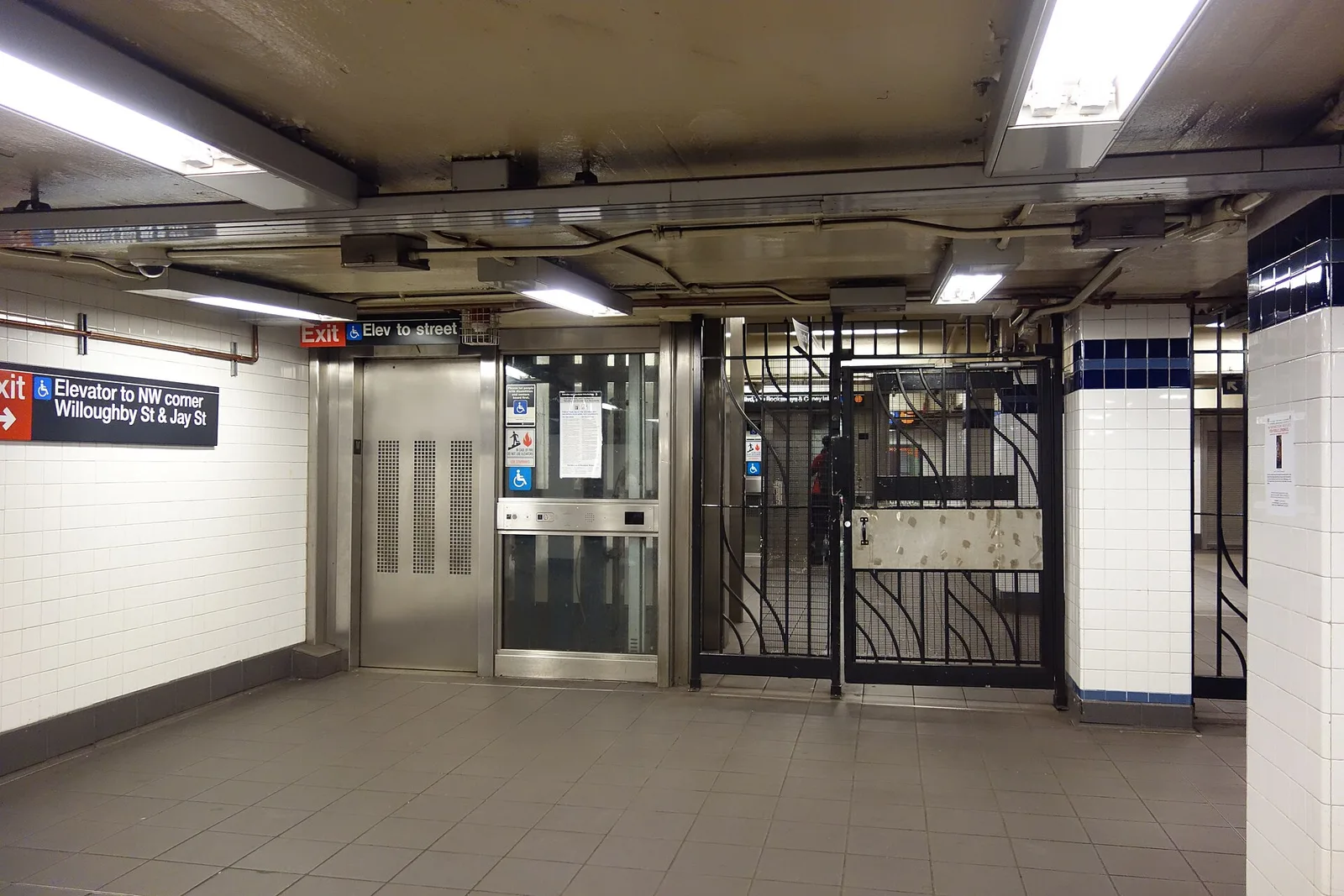
Street-elevator access from the Jay St–MetroTech mezzanine.
What small or overlooked accessibility barriers exist in everyday urban environments in NYC?
How can seemingly minor obstacles, such as a single step, a narrow entrance, or an unavailable elevator, affect people's independence and participation in city life?
How do accessibility experiences change across transportation, sidewalks, restaurants, bars, and other social spaces?
How might creative documentation, mapping, or interactive media help make these often-invisible barriers more noticeable and understandable?
These are my starting questions. I may revise them as I learn more.
04 / Research landscape
Mapping the Problem
Initial mess map / 01
Everyday Accessibility in NYC
People encounter barriers in places shaped by systems.
↳
People
Wheelchair users and people with limited mobility
People with sensory disabilities
Older adults and people with temporary injuries
Residents, commuters, and visitors
Business owners and transportation operators
Encounter barriers in places; their needs question how systems define access.
↳
Places
Subway stations
Sidewalks and crossings
Restaurants and cafés
Bars and nightlife
Public spaces and building entrances
Connect daily activities; design and maintenance shape access.
↳
Barriers
Steps and changes in elevation
Broken or unavailable elevators
Narrow entrances and pathways
Obstructed sidewalks
Poor signage
Noise, lighting, and crowds
Interrupt movement between places and affect people differently.
↳
Systems
Public transportation
Urban planning
Building design
Accessibility policies
Maintenance
Business operations
Shape places and determine how barriers are addressed.
↳
Tensions & Unknowns
Accessible places vs. accessible journeys
Compliance vs. actual usability
Independent access vs. requiring assistance
Permanent design vs. temporary obstacles
Who determines what counts as accessible?
Cut across people, places, barriers, and systems; guide the next inquiry.
My initial mapping of the people, spaces, systems, and questions surrounding everyday accessibility in NYC. I plan to revisit this map as my research develops.Next iteration / Updated Mess Map
Photograph to comeUpdated Mess Map / To be developed after fieldwork
05 / Preliminary research & references
Learning From Existing Work
01 / Place — Downtown Brooklyn
I plan to begin my investigation around Jay St–MetroTech Station, Fulton Street, and nearby restaurants and social spaces.
The combination of public transportation, pedestrian infrastructure, and commercial environments provides an opportunity to study how accessibility changes throughout an everyday journey.
02 / Community — Brooklyn Center for Independence of the Disabled (BCID)
BCID is a Brooklyn-based organization that advocates for the rights and independent living of people with disabilities.
Its work provides an important perspective on the relationship between physical accessibility, independence, and social participation.
I am using BCID as an initial research reference. I have not interviewed anyone at the organization.
This artwork responds to inaccessible spaces through a playful intervention, questioning who is able to participate and how accessibility is communicated.
These are activities I intend to explore during Phase 2. I have not yet conducted fieldwork, collected site observations, or carried out interviews.
Urban Observation
I plan to walk through selected Downtown Brooklyn locations and examine accessibility-related features.
Site Sampling
I plan to collect 20–30 detailed visual observations, including steps, thresholds, curb ramps, signage, elevator access, and other environmental features.
Photography & Mapping
I plan to photograph and map details, locations, and connections between accessibility barriers.
Journey-Based Research
I hope to investigate a complete everyday journey, such as traveling from a subway station to a restaurant or meeting friends at a bar.
Community Perspectives
I hope to find opportunities to learn from people with lived experience of disability or accessibility advocates, with appropriate consent.
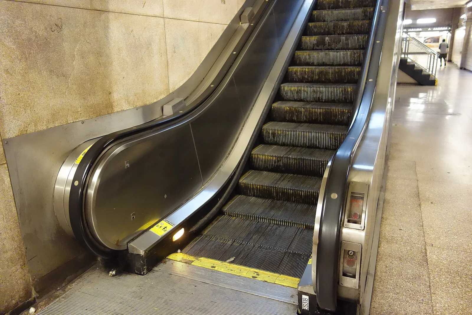
Preliminary visual reference
Down escalator at the 370 Jay Street station passageway.
Question for future observation: How do stairs, escalators, elevators, and wayfinding connect along a complete route?
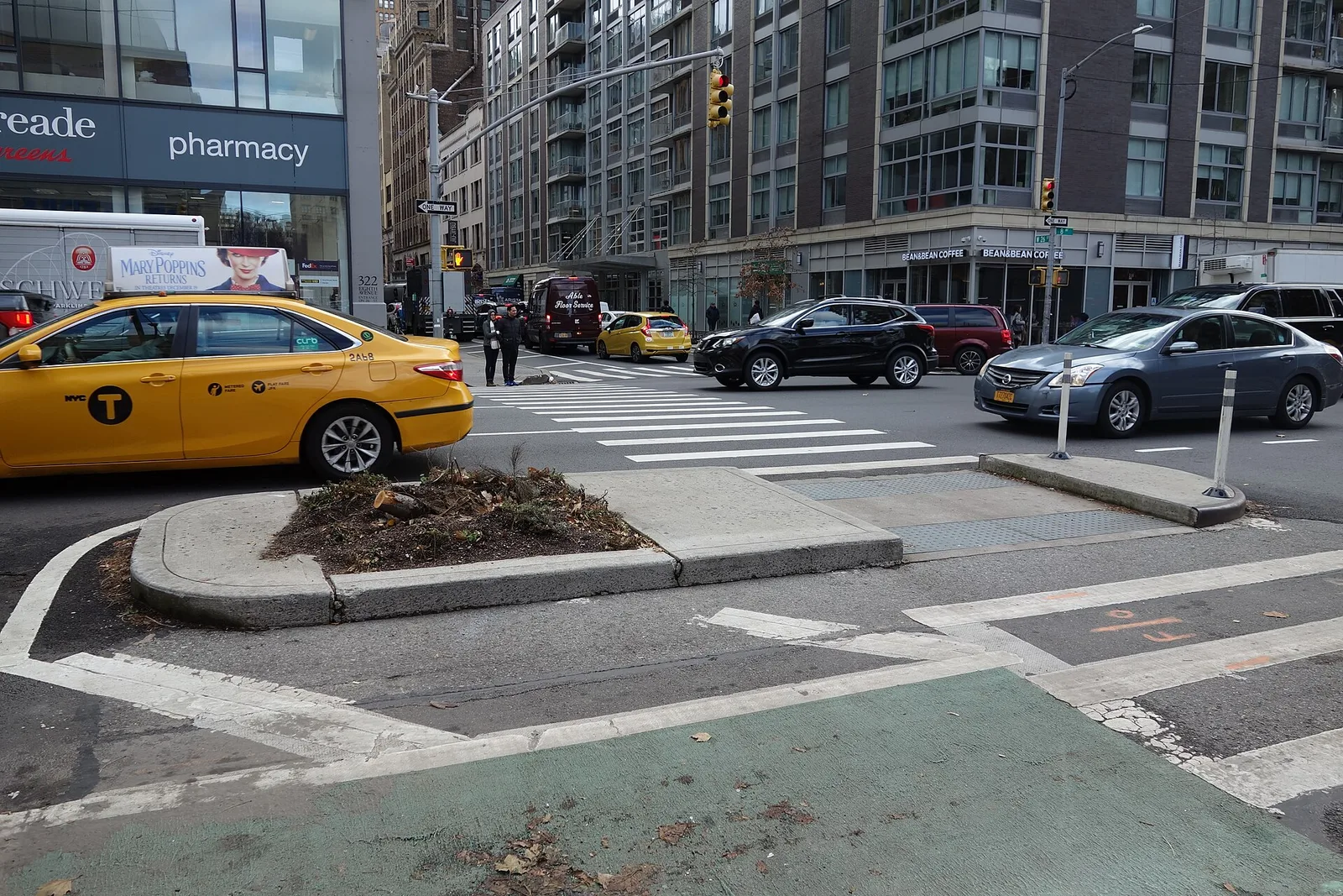
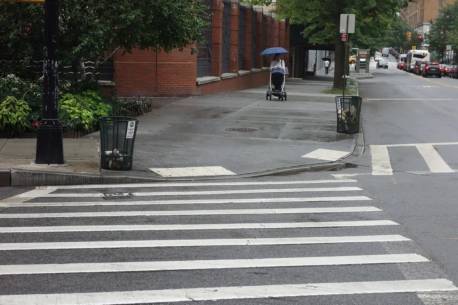
The Chambers Street image is a Manhattan comparison reference, outside the proposed Brooklyn study area. Restaurant and bar thresholds, door clearances, and seating routes remain questions for future original documentation.
Documentation to come / Fieldwork photo gallery
Photograph to comeFieldwork photo gallery / Original photographs to come
07 / Initial study area
Where I Plan to Look
These are sites I propose to investigate, not confirmed examples of inaccessible facilities. The order below is my initial inquiry sequence, not a verified route.
Jay St–MetroTech Station
Transportation accessibility
Fulton Street
Pedestrian infrastructure and street-level barriers
DeKalb Market Hall and surrounding businesses
Dining and social space accessibility
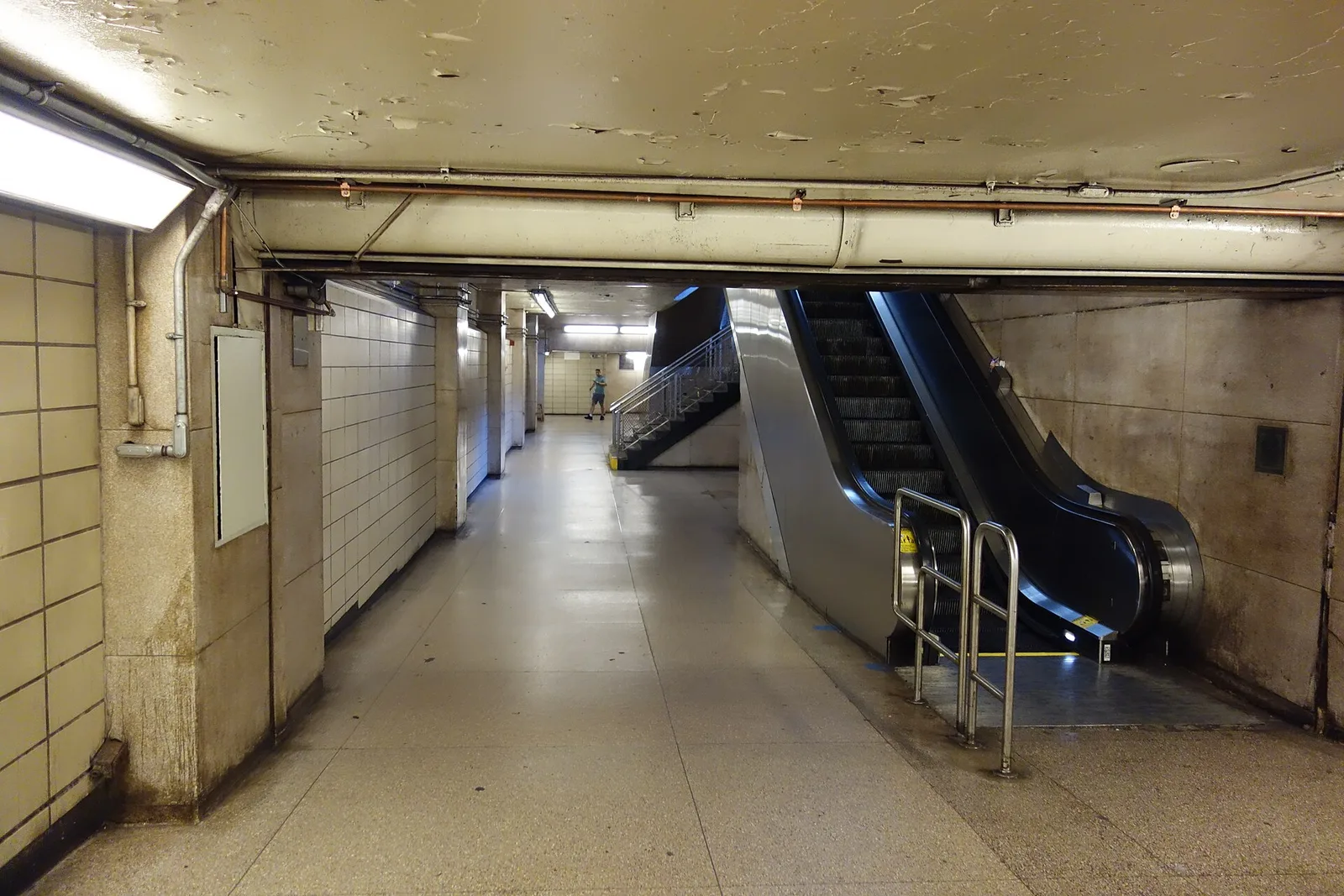
Preliminary visual reference
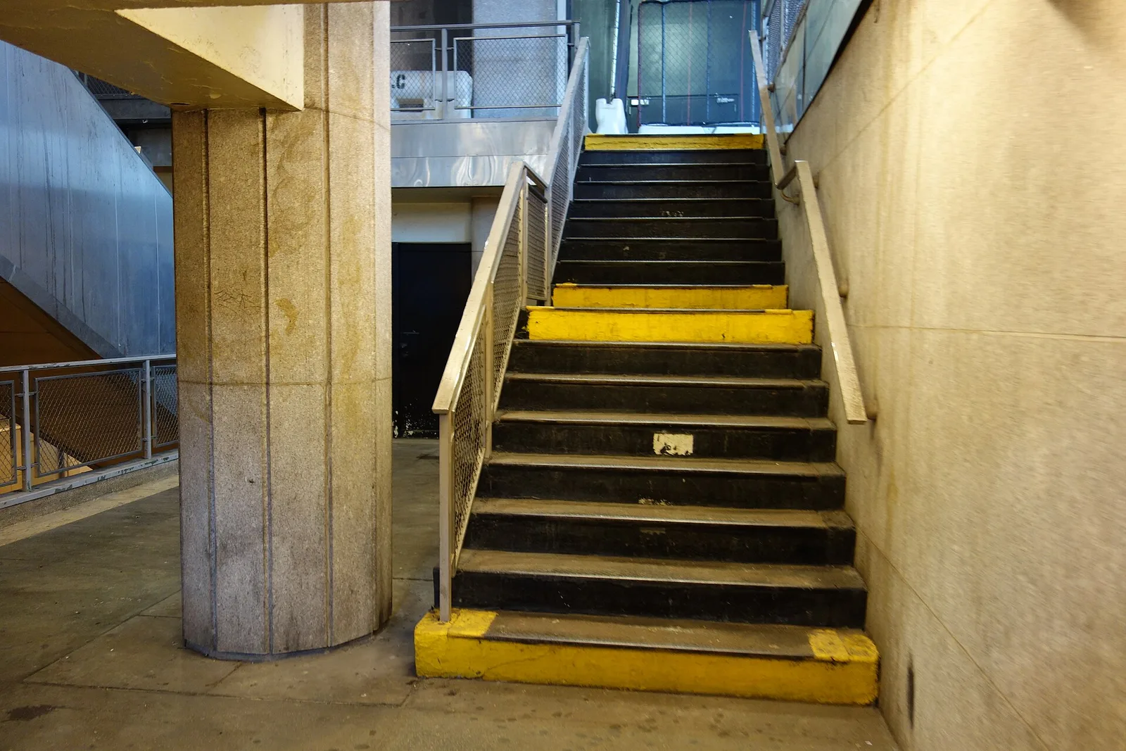
Passageway connecting 370 Jay Street and Jay St–MetroTech.
Question for future observation: How legible is the connection between the station and the street?
I plan to add locations, route notes, and photographs after my field observations.
08 / Timeline
Six Weeks of Inquiry
My tentative six-week research plan. I may adjust the activities and timing depending on what I discover.
Week 01 / Current
FRAME
I am framing my questions, developing an initial mess map, collecting references, and planning fieldwork.
Week 02 / Planned
OBSERVE
I plan to visit the proposed sites and collect environmental observations.
Week 03 / Planned
INVESTIGATE
I hope to investigate everyday journeys, do additional research, and seek community perspectives.
Week 04 / Planned
SYNTHESIZE
Depending on what I discover, I plan to organize my findings, look for patterns, and refine my questions.
Week 05 / Planned
EXPERIMENT
I may explore creative representations and early prototypes based on what I learn.
Week 06 / Planned
SHARE
I plan to document, refine, and present my research and any creative experiments.
09 / Resources & research approach
What I’ll Bring
Materials & Budget
Smartphone or camera
Notebook / field notes
Digital mapping tools
Measuring tape
Optional prototyping materials
My estimated individual research budget: $0–30, subject to transportation and material needs.
My Research Approach
For now, I am approaching this project independently, beginning with my own observations, questions, and preliminary research. I plan to focus on documenting accessibility barriers across different everyday urban environments, particularly transportation, sidewalks, and social spaces.
I am still open to joining a group and exploring how this inquiry might connect with other people's interests. If that happens, the research direction and responsibilities may evolve through collaboration.
10 / Possible directions
Where Could This Lead?
These are three directions I may explore, depending on what I learn. I have not chosen a final outcome.
Possibility / 01
Interactive Accessibility Map
A digital map documenting overlooked barriers and their relationships across everyday journeys.
Possibility / 02
Visual Archive of Urban Barriers
A photographic collection showing how small architectural details affect accessibility.
Possibility / 03
Interactive Experience / Installation
An experiential prototype demonstrating how a seemingly minor obstacle can interrupt an entire journey.
Future exploration / Research experiments & prototype
Photograph to comeResearch experiments / Prototype documentation to come
11 / Initial reflection
Looking Beyond Individual Obstacles
I am interested in accessibility and inclusive design because seemingly minor environmental barriers can affect someone’s ability to participate in everyday city life.
What I am especially curious about is the relationship between individual accessible spaces and the accessibility of an entire journey. A subway station might be accessible, but a nearby restaurant may have a step at its entrance. A sidewalk might have a curb ramp, but temporary construction could block the route.
I want to understand how these small interruptions can add up, affecting someone’s independence and their ability to get somewhere or spend time with other people.
I hope to look more carefully at the gap between how the city appears to function and how people with different needs might experience it. My own observations will only be a starting point; I hope to learn from perspectives beyond my own.
I am beginning with questions rather than a solution. For now, I want to pay attention to everyday details that are easy to overlook and let what I learn shape the next steps.
Phase 01 / A starting point, open to revision.
Reference archive / Attribution
Image Credits & Sources
All seven photographs are existing documentation from Wikimedia Commons. Resized WebP versions are distributed under CC BY-SA 4.0, the same license as the source images. No crops or other visual edits were made. Credits do not imply endorsement. These licenses apply to the photographs, not the entire journal.
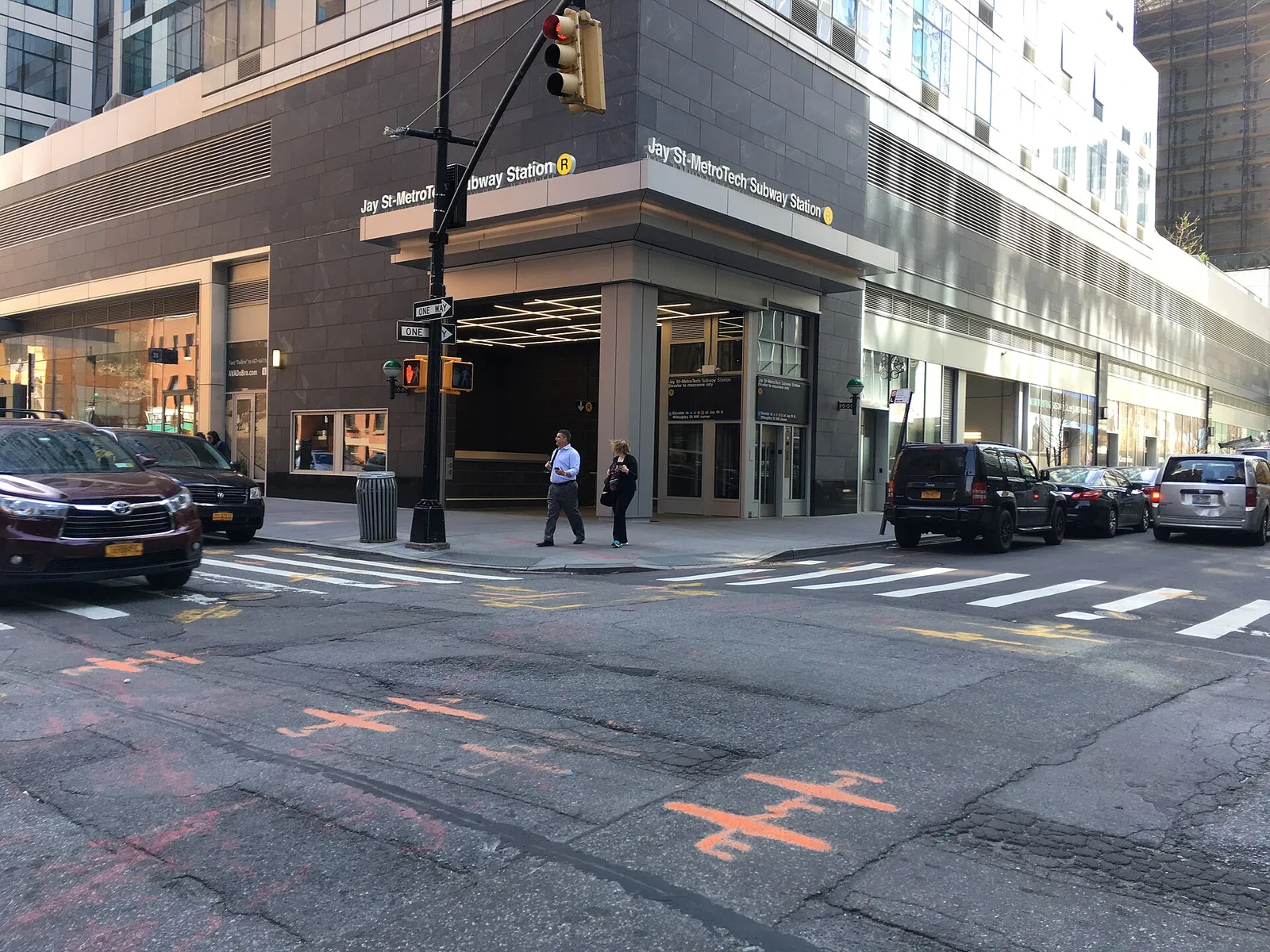
Jay St–MetroTech entrance through AVA DoBro, Downtown Brooklyn.
Resized and converted to WebP; no cropping. These image versions are shared under CC BY-SA 4.0. Local image · Original file
Mapping Access and both Anti-Stairs Club Lounge projects remain external editorial references. Future Phase 2 photographs will be identified separately as original field documentation.